Browser-Based GIS vs Desktop GIS: Which Should You Choose?
Compare browser-based GIS and desktop GIS on cost, collaboration, hardware, and large-dataset handling to find the right fit for your team.
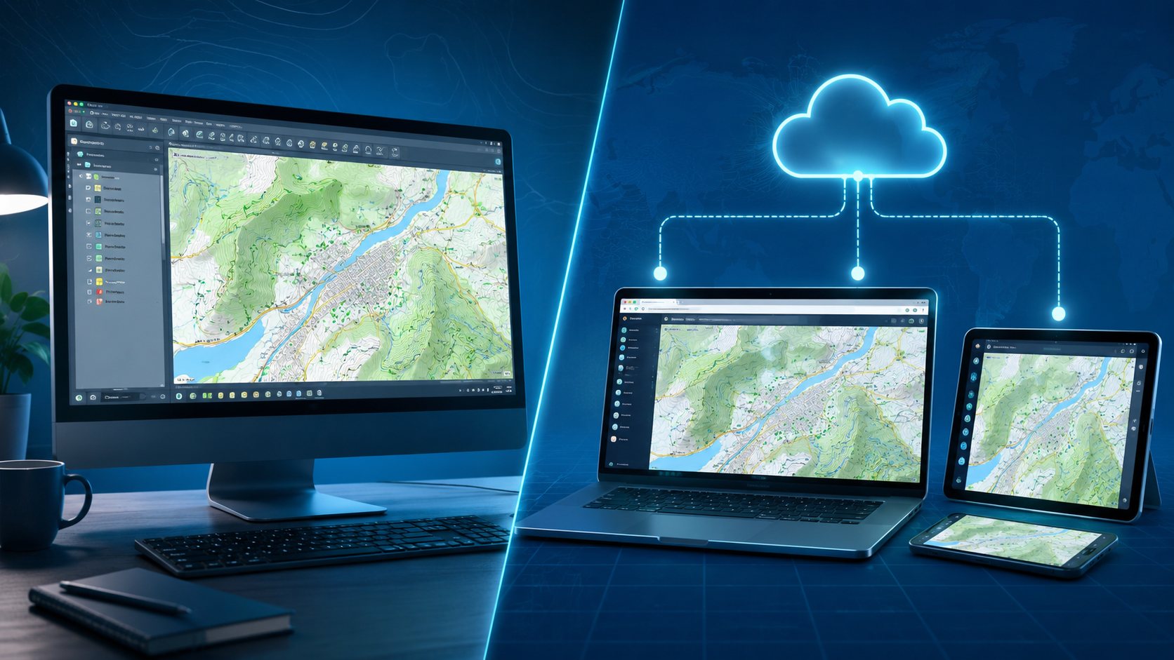
If you're choosing between browser-based GIS and desktop GIS, here's the short answer: browser-based GIS wins for collaboration, remote access, and low setup cost, while desktop GIS still wins for offline work and deep, specialized analysis on very large local datasets. Most teams don't need to pick a permanent side - but knowing where each one actually shines will save you months of wasted setup time.
GIS has quietly split into two camps. One is the classic desktop GIS - software installed on a workstation, where all your processing happens locally. The other is browser-based (web or cloud) GIS - platforms you open in a tab, with no installation and no dependency on your machine's horsepower. Both can make a map. But they're built for very different workflows, teams, and budgets. Let's break down the real differences.
What Is Desktop GIS?
Desktop GIS is software you install directly on a computer - think QGIS Desktop, ArcGIS Pro, Global Mapper, or MapInfo Pro. Everything runs locally: your data, your processing power, your storage. This gives you deep control and works completely offline, but it also means one license generally serves one user at a time, and performance is capped by your own hardware.
What Is Browser-Based (Web/Cloud) GIS?
Browser-based GIS runs entirely in a web browser, with data hosted in the cloud and processing handled on remote servers. There's nothing to install - you log in and start mapping. Platforms like Felt, ArcGIS Online, Mapbox, and GeosysAI fall into this category, and they're built around a simple idea: GIS shouldn't require a trained specialist or a powerful workstation to use.
Newer AI-native platforms are pushing this further. GeosysAI, for example, lets you drag in vector files, drone imagery, CAD drawings, and even classified LiDAR point clouds directly into a single browser workspace - no format conversion, no desktop plugins - and then query that data in plain language instead of writing GIS expressions.
Browser-Based GIS vs Desktop GIS: Key Differences
| Factor | Browser-Based GIS | Desktop GIS |
|---|---|---|
| Setup | None - open a browser | Install and configure locally |
| Collaboration | Real-time, multi-user | Single user per session |
| Hardware needs | Light client device | Powerful CPU/RAM/GPU |
| Offline access | Limited | Full offline capability |
| Large datasets (LiDAR, rasters) | Streamed via cloud-optimized formats | Processed locally, hardware-limited |
| Cost model | Subscription, low per-user cost | Perpetual license or paid subscription |
| Learning curve | Low - built for broad audiences | Steeper, built for GIS professionals |
| Mobile/field use | Yes, any device | No |
| Data control | Hosted by the vendor | Fully local |
Collaboration and Access
This is where browser-based GIS pulls furthest ahead. Sharing a map is as simple as sharing a link - no exporting files, no version conflicts, no waiting for a colleague to open the same desktop license. Multiple people can view or edit a project simultaneously, which matters enormously for teams spread across field crews, engineers, and stakeholders. Desktop GIS, by contrast, is fundamentally single-user: sharing usually means emailing project files back and forth.
Hardware and Installation
Desktop GIS - especially ArcGIS Pro - expects a capable workstation with strong RAM and graphics. Browser-based GIS shifts that burden to the server, so your laptop, tablet, or even a budget machine can run the same workflow. That's a real cost saving when you're equipping a whole team rather than one analyst.
Handling Large Datasets (LiDAR, Point Clouds, High-Res Imagery)
This used to be desktop GIS's clearest advantage - and it's the one area where the gap has narrowed fastest. Modern browser platforms use streaming formats, cloud-optimized GeoTIFFs, and octree-based point cloud rendering to display millions of LiDAR points or gigabytes of drone imagery without ever downloading the full dataset. Platforms built with native 3D and point-cloud support - GeosysAI among them - can now handle survey-grade LiDAR and oblique imagery directly in the browser, a workload that once demanded a dedicated desktop rig.
Cost and Licensing
QGIS Desktop is free; ArcGIS Pro typically runs several thousand dollars per user, per year. Browser-based platforms are usually subscription-based with a lower per-seat cost, and scale more predictably - add a user without buying another workstation license. For organizations rolling GIS out beyond a small analyst team, this pricing model adds up fast.
Offline Capability
Desktop still has the clear edge here. If you're mapping in a remote area with no connectivity, a locally installed tool is non-negotiable. This remains the strongest argument for keeping desktop GIS in your stack.
Ease of Use
Desktop GIS tools are built for trained specialists and come with a real learning curve. Browser-based tools are increasingly designed for non-experts - some, like GeosysAI's plain-language query features, let team members ask questions about their spatial data without writing a single GIS expression.
When Should You Choose Desktop GIS?
- You need full offline capability in the field.
- Your workflow relies on specialized, deep analytical tools (advanced geoprocessing, custom scripting).
- Data must stay entirely on local infrastructure for compliance reasons.
- You're a solo analyst or a small, technically trained team.
When Should You Choose Browser-Based GIS?
- Your team is distributed and needs to collaborate on the same map in real time.
- You want to onboard non-GIS staff without months of training.
- You need to view or edit maps from the field on a phone or tablet.
- You're scaling access across a growing team without buying new hardware.
- You're working with large LiDAR or imagery datasets and want to skip local processing bottlenecks.
The Hybrid Approach: Best of Both Worlds
In practice, most mature GIS teams don't choose one exclusively - they use both. Desktop tools remain useful for heavy data preparation and specialized analysis, while browser-based platforms handle sharing, collaboration, and day-to-day decision-making across the wider organization. The trend, though, is unmistakably toward the browser: cloud GIS is growing faster than the GIS market overall, driven by teams that want their maps accessible to everyone who needs them - not just the person with GIS software installed.
FAQs
Is browser-based GIS better than desktop GIS? Neither is universally "better" - it depends on the job. Browser-based GIS is better for collaboration, accessibility, and cost efficiency across a team; desktop GIS is better for offline work and specialized local analysis.
Can browser-based GIS handle large datasets like LiDAR? Yes. Modern browser platforms use streaming and cloud-optimized formats to render large point clouds and imagery without local downloads, closing much of the gap with desktop tools.
Do I need to install anything to use browser-based GIS? No. It runs entirely in your browser - you just need an internet connection and a login.
Does browser-based GIS work offline? Generally, no - it requires an internet connection. Desktop GIS remains the better choice for fully offline fieldwork.
Is my data secure on a browser-based GIS platform? Reputable platforms use encryption in transit and at rest, along with role-based permissions and audit trails. It's worth confirming these safeguards with any vendor before migrating sensitive data.
Which is cheaper, browser-based or desktop GIS? It depends on scale. A single desktop license (or free QGIS) can be cheaper for one user, but browser-based subscriptions typically cost less per user once you're equipping an entire team.
The Bottom Line
Desktop GIS isn't going away - but for teams that need to collaborate, scale, and work from anywhere, browser-based GIS has become the practical default. Platforms that combine that accessibility with genuine large-dataset handling - like native LiDAR and 3D support - are closing the last real gap between the two. If your team is evaluating a move to the browser without losing the ability to work with survey-grade data, that's exactly the space GeosysAI was built for.