From Condition Reports to
Infrastructure Intelligence
A road assessment provider uses Geosys AI to give city and county councils a browser-based platform for hotspot detection, budget simulation, and grant-ready reporting — no GIS expertise required.
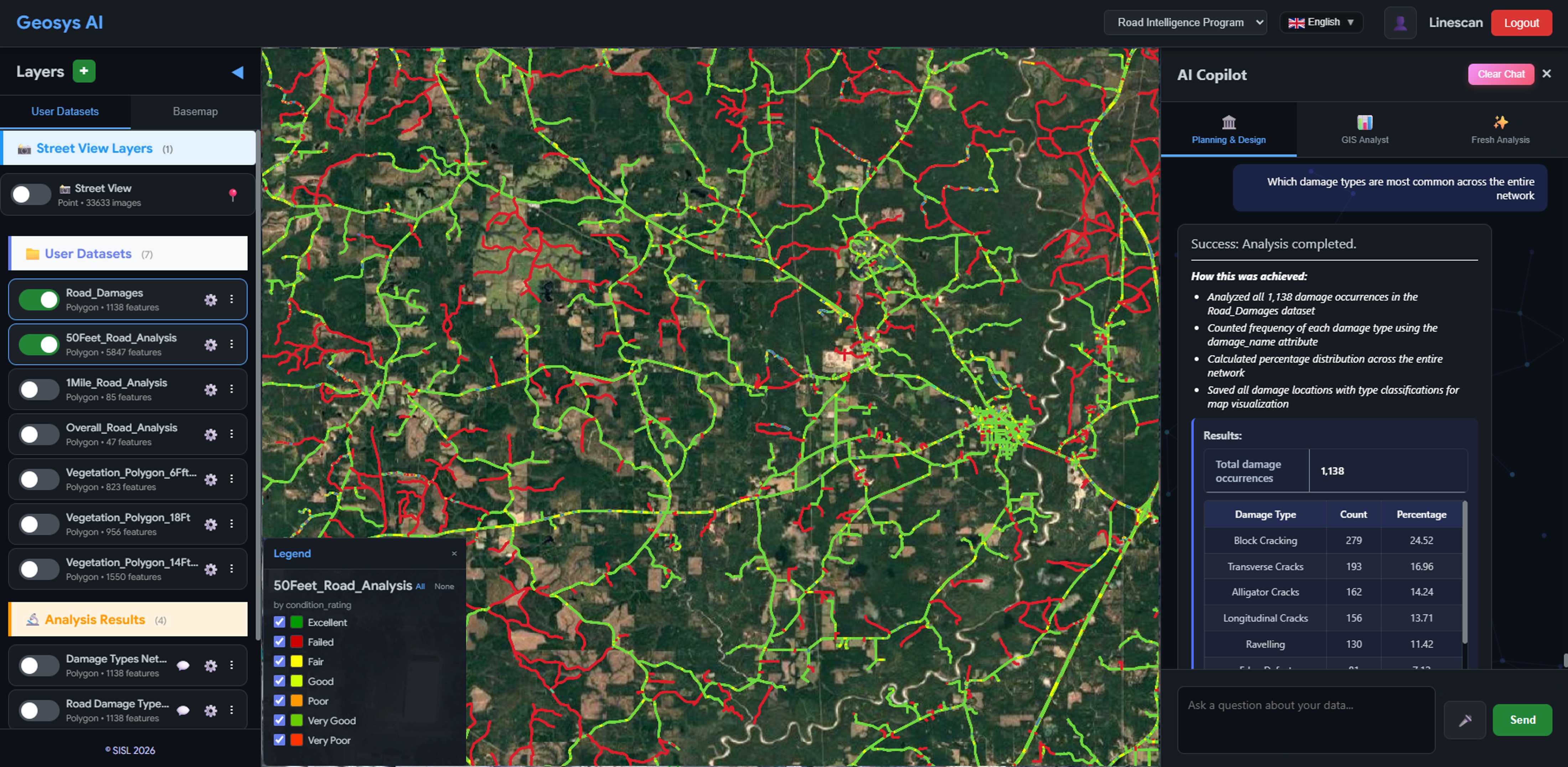
Hotspot Detection
All road condition segments are colour-coded by severity — Poor, Failed, and At-Risk — directly on an interactive map. City officials can pan, zoom, and filter the network to locate the highest-priority repairs without opening a single GIS file.
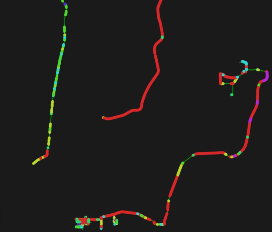
Budget & Repair Simulation
Input a budget ceiling and a planning horizon and Geosys AI builds a prioritised, multi-year repair schedule — allocating funds to the highest-severity segments first. Scenario planning lets councils compare outcomes under different funding levels before committing.
Show all segments rated Poor or Failed.
Top 10 critical damage hotspots.
Total miles requiring urgent repair.
Repair cost for red-category segments.
4-year plan within a $5M budget.
Prioritize by safety and severity.
Natural Language Queries
Councils can type questions like "Show all segments rated Poor or Failed" or "Highlight the top 10 critical hotspots" and receive instant, mapped answers. What previously required days of manual GIS analysis is now delivered in seconds — no technical expertise needed.
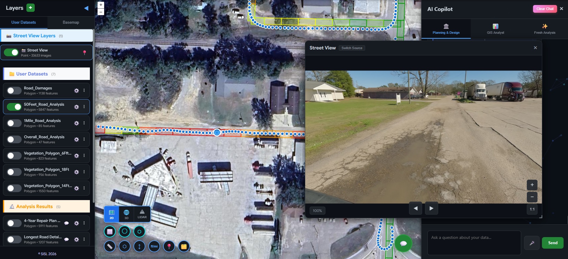
Street-View & LiDAR Integration
Every assessed segment is directly linked to its corresponding street-level panoramic image and LiDAR point cloud scan. Navigate from a condition score to the exact ground-level photograph or 3D scan — giving engineers and councils irrefutable visual evidence behind every repair priority and funding decision.
Critical decisions were buried in disconnected reports.
City and county councils were receiving road condition outputs — mobile LiDAR scans, street-level imagery, and corridor pavement assessments — as static files and PDFs. Finding critical damage, planning multi-year budgets, or assembling grant documentation required days of manual GIS work and specialist expertise that most councils simply don't have.
Before
- Disconnected static condition reports
- Manual GIS data interpretation
- Separate budget spreadsheets and planning documents
- Static PDF deliverables
After
- Interactive GIS portal with live hotspot maps
- AI-driven natural language query engine
- Built-in budget simulation and repair planning
- Grant and FEMA reports generated on demand
Not just road condition reports —
a full infrastructure decision platform.
The client now delivers a centralized, browser-based intelligence platform alongside every road survey. Councils identify critical hotspots, simulate repair budgets, and export grant-ready documentation — all without specialist software or GIS expertise.
- Browser-based portal — no GIS software required
- Critical hotspots surfaced instantly from condition data
- Natural language queries answer infrastructure questions in seconds
- Multi-year budget and repair plans built interactively
- Grant-ready and FEMA-ready reports generated on demand
- Defensible, data-backed evidence for funding decisions
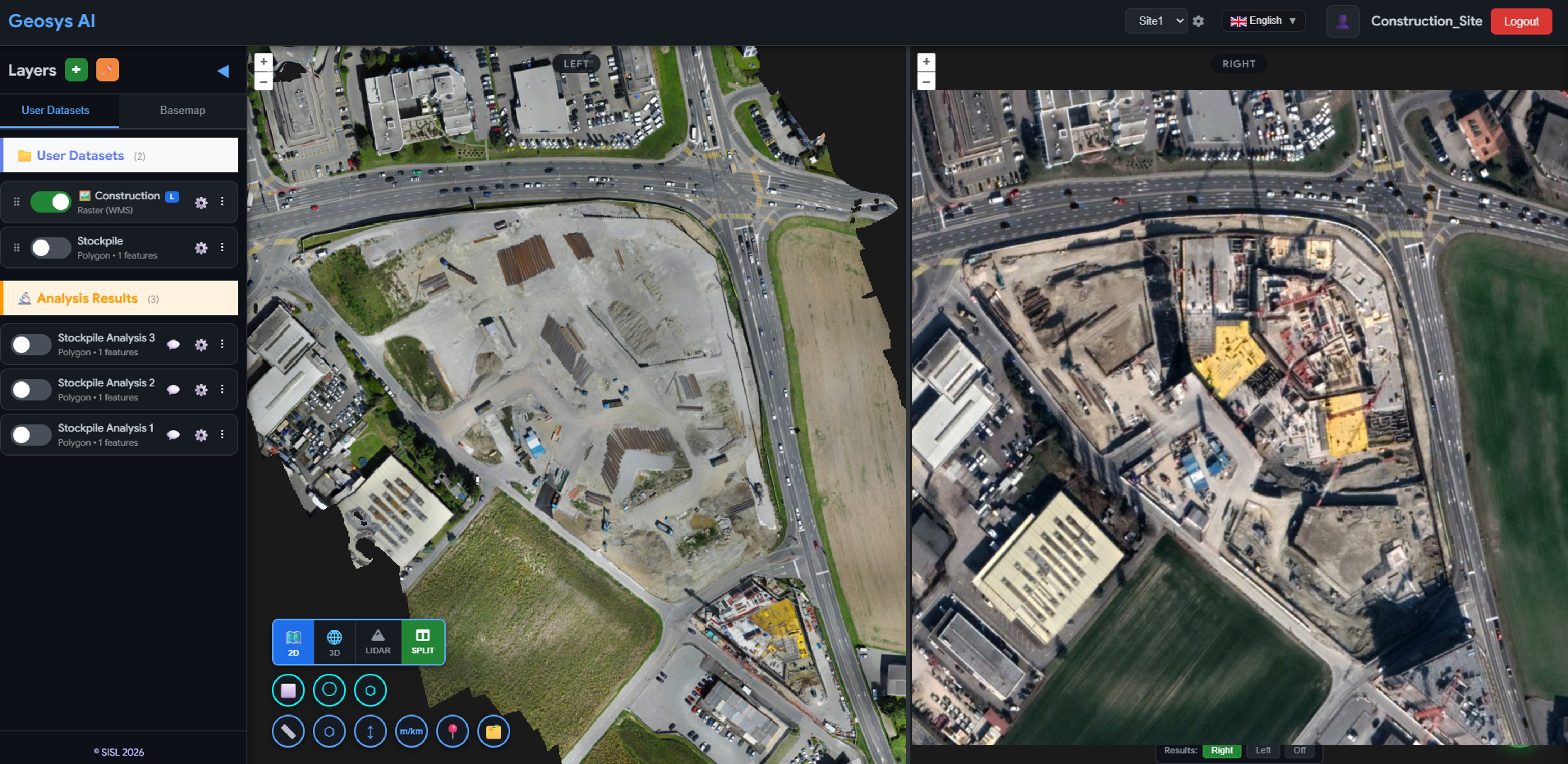
Ready to deploy?
Get a demo, pricing, and a pilot plan tailored to your data stack.