From Isolated Survey Files to
Mine Operations Intelligence
Mining operators and site engineers use Geosys AI to visualize drone survey data, explore terrain models, and monitor haul roads and stockpiles — transforming large spatial datasets into a unified mine operations intelligence platform.
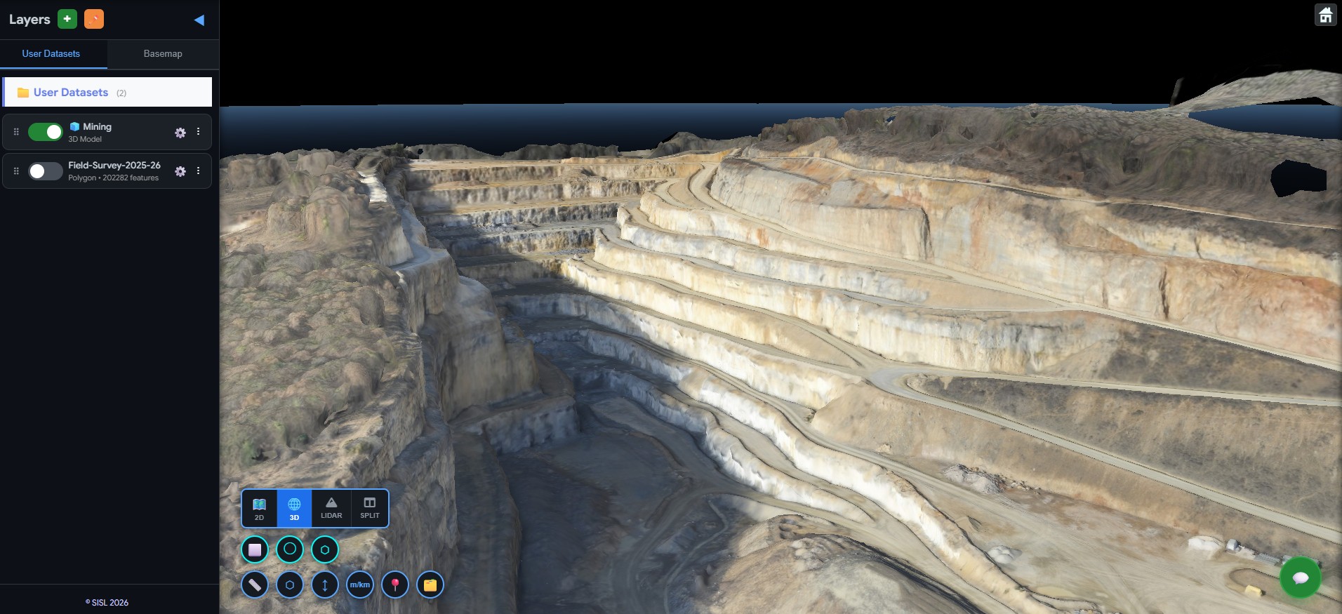
Mine Site Visualization
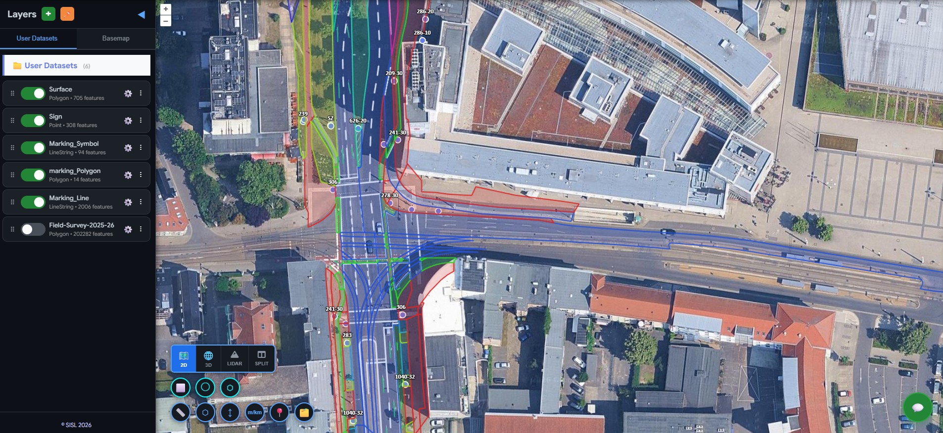
High-resolution orthophotos from drone surveys are deployed onto an interactive map. Mine planners can pan, zoom, and explore the entire mine site — viewing terrain conditions, excavation areas, and operational zones without any GIS expertise.
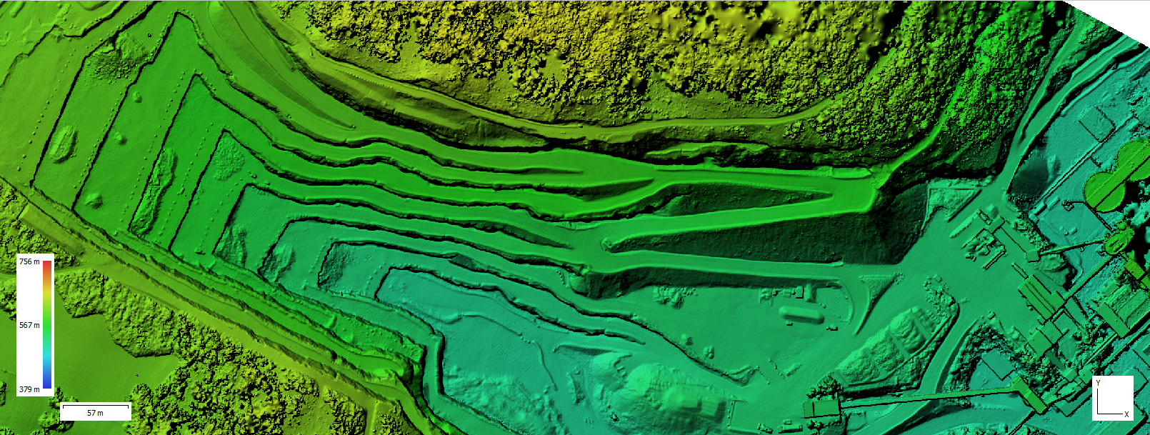
Terrain & Surface Exploration
Digital Terrain Models (DTM) and surface elevation layers are available for exploration. Site engineers can examine terrain conditions across pit areas, understand surface gradients, and overlay terrain data with operational vectors for comprehensive mine planning.
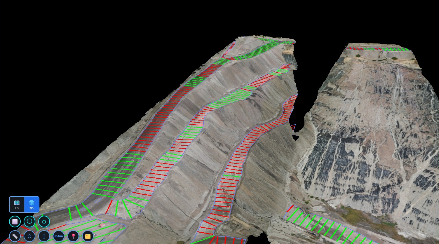
Haul Road & Stockpile Mapping
Haul road networks used by heavy mining vehicles, stockpile locations, and material storage zones are mapped and color-coded. Operations managers gain clear visibility into transport routes, stockpile distribution, and material flow across the entire mine.
Natural Language Queries
Mining teams can query the spatial database using plain language — "Show all haul roads across the mine site", "Display terrain elevation for this pit area", or "Calculate total area of this stockpile zone." What previously required loading large datasets into specialized software can now be answered instantly.
Valuable mine site data was captured but couldn't be explored without specialized software.
A client working with mining operators and site engineers collected large amounts of spatial data from drone surveys and site mapping activities — high-resolution orthophotos, digital terrain models, 3D mine surfaces, haul road networks, stockpile locations, and pit boundaries. But these datasets were delivered as large files that were difficult for mine planners and operations teams to visualize or explore without specialized GIS software.
Before
- Drone and survey data stored as large files
- Limited accessibility outside survey teams
- Manual loading into specialized GIS software
- Slow analysis of mine conditions
- No centralized spatial platform for operations
After
- Interactive mine site visualization platform
- Unified access to terrain and survey data
- Fast exploration of operational zones
- Accessible to planners, engineers, and site managers
- Browser-based — no specialized software required
Simple queries. Instant mine intelligence.
Using plain language, mining teams can instantly explore operational information across the mine. What previously required loading large datasets into specialized software can now be answered in seconds.
Not just mining survey datasets —
a complete mine operations intelligence platform.
Geosys AI enables mining teams to visualize terrain, explore haul roads, monitor stockpiles, and better understand operational areas through a unified spatial platform. Mining intelligence — accessible, organized, and ready for operational decisions.
- Interactive mine site visualization — no GIS software required
- Unified terrain and orthophoto exploration platform
- Haul road network and stockpile location mapping
- Excavation and pit boundary visualization
- Natural language queries for instant operational insights
- Accessible to planners, engineers, and site managers
Ready to deploy?
Get a demo, pricing, and a pilot plan tailored to your data stack.