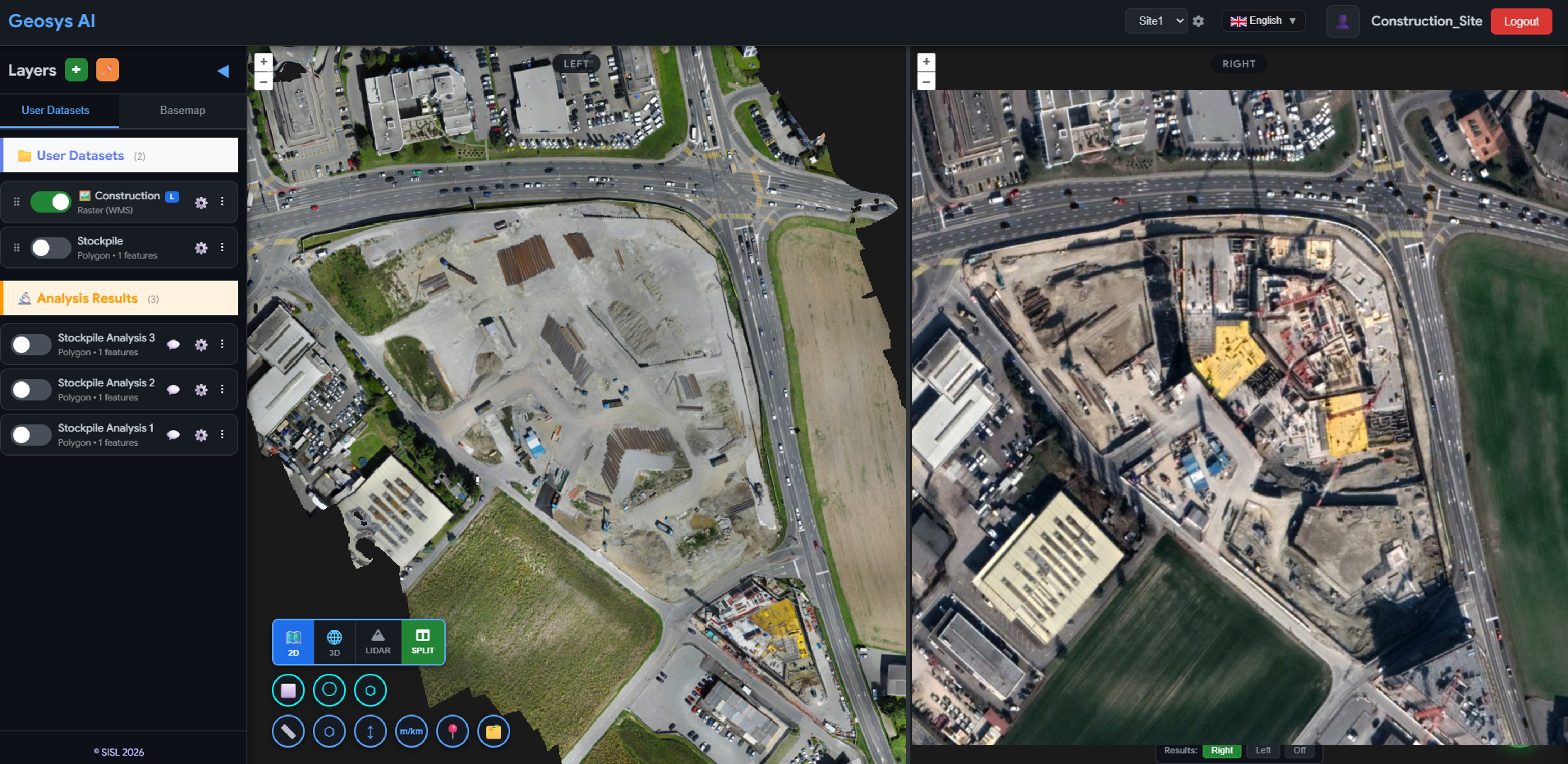
Construction
Drone Survey Platform
A drone services provider delivers orthomosaics, 3D models, and stockpile volumes through a browser-based viewer — no desktop GIS required.
Stockpile Analysis3D ModelsChange DetectionPDF Reports
View case study
See how surveyors, city authorities, and infrastructure teams use Geosys AI to turn complex spatial data into decisions — directly in the browser.
Construction
A drone services provider delivers orthomosaics, 3D models, and stockpile volumes through a browser-based viewer — no desktop GIS required.
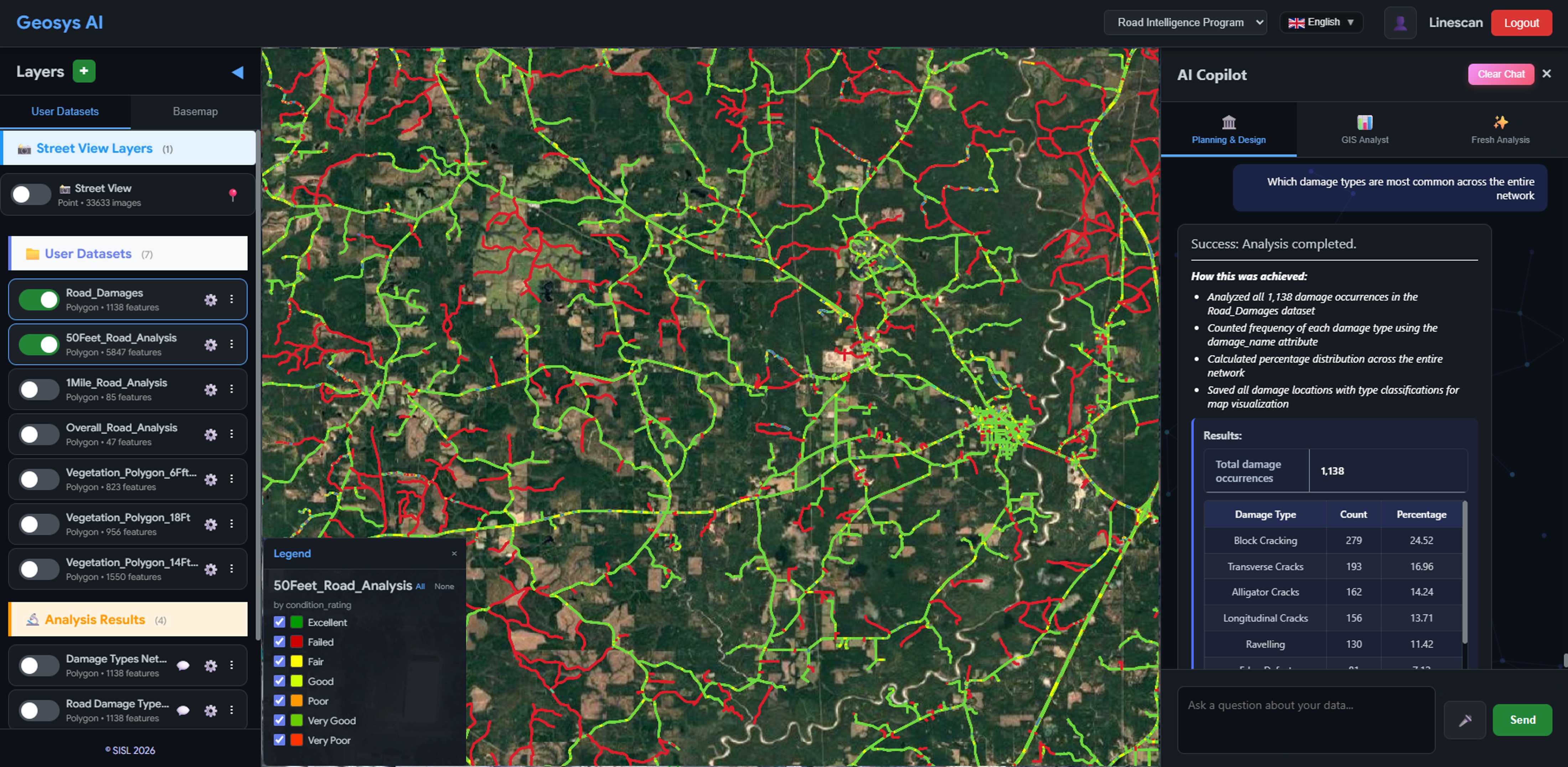
Infrastructure
City and county councils identify critical damage hotspots, simulate multi-year repair budgets, and generate grant-ready reports — all through a browser-based AI platform.
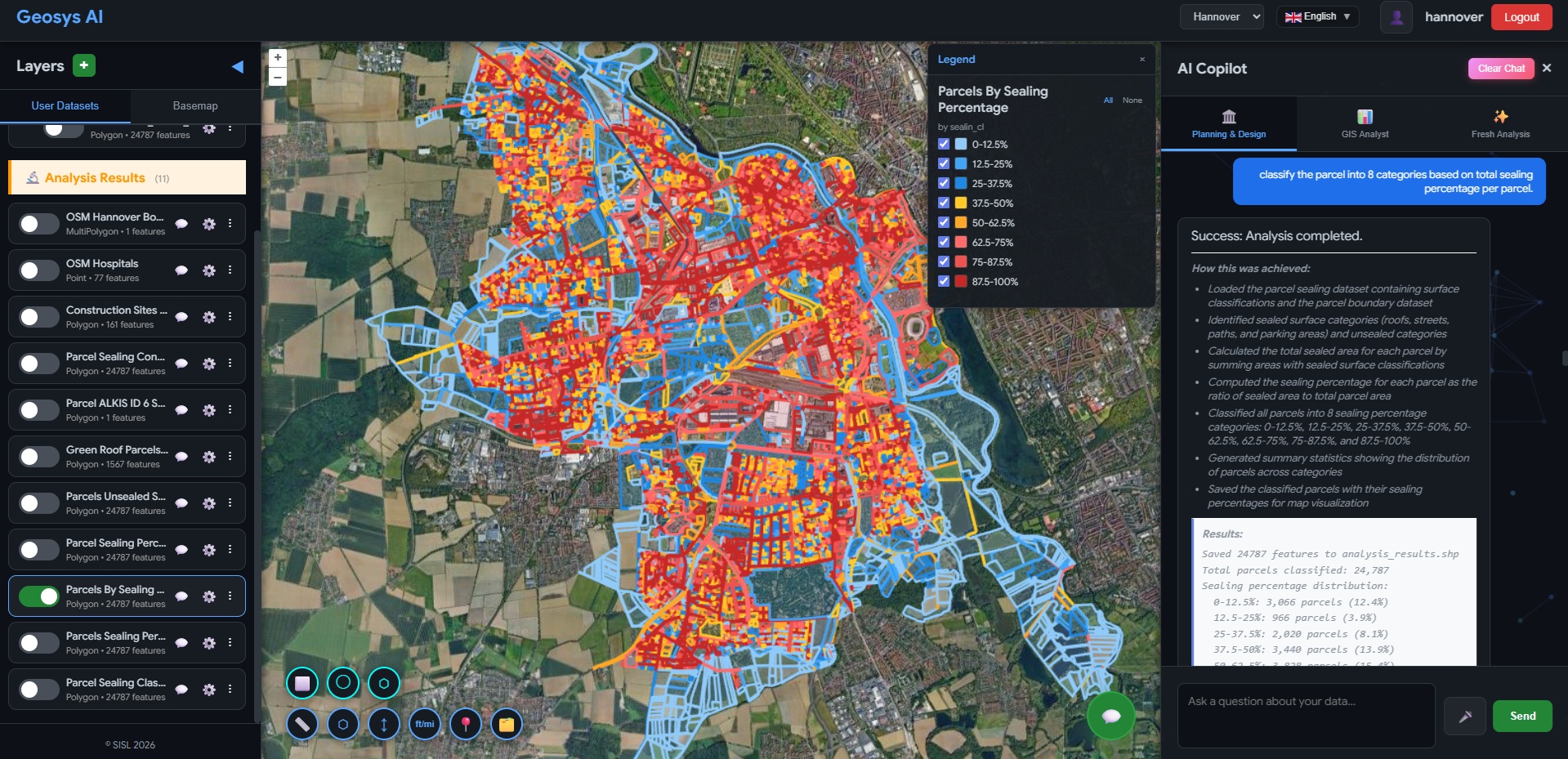
Municipal
City and municipal authorities calculate parcel-level stormwater fees, model district-wide revenue, and generate audit-ready reports — all through a browser-based AI platform.
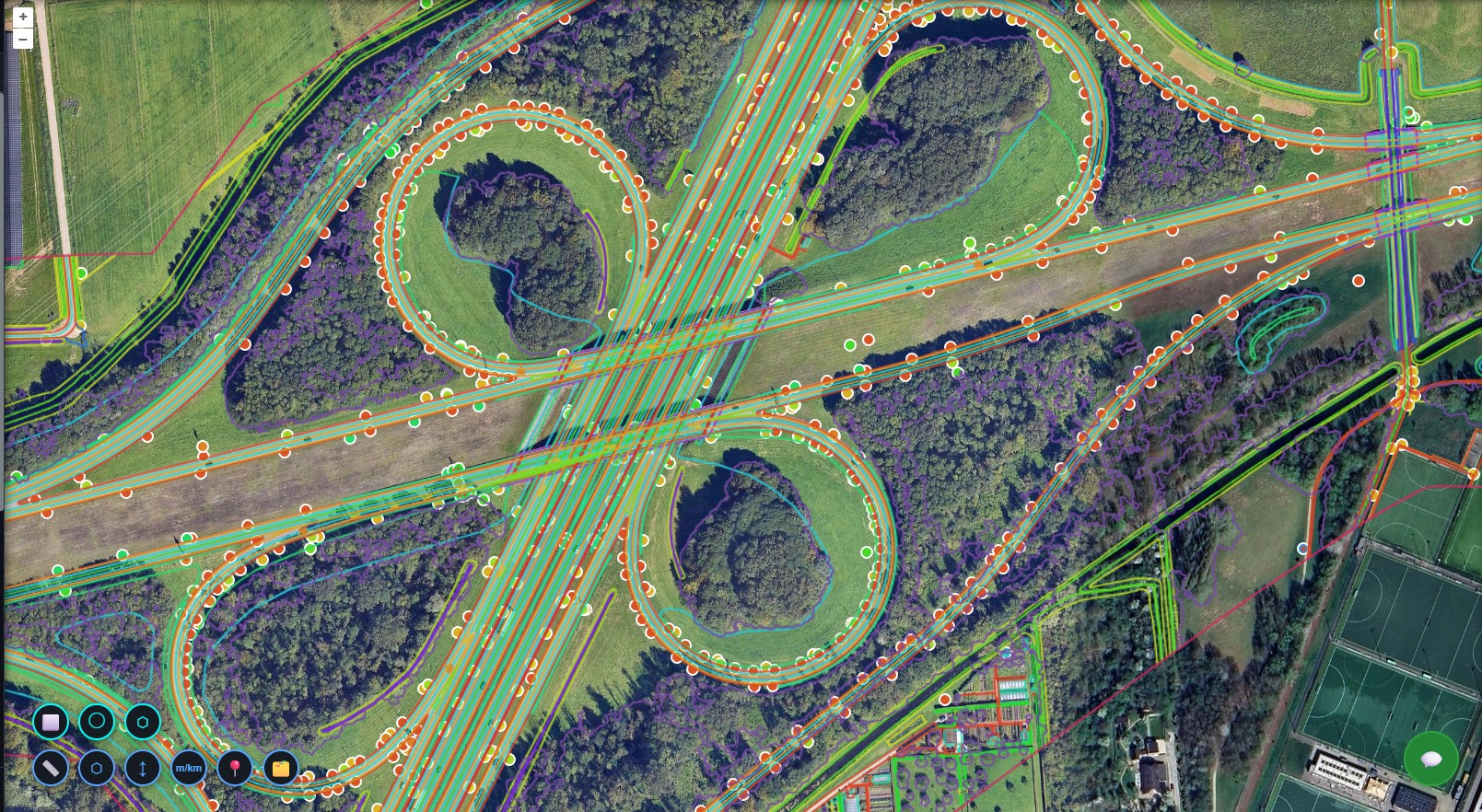
Transportation
Highway authorities visualise 3D corridor assets, filter by type, run cross-layer queries in plain language, and generate maintenance-ready exports — all in a browser-based AI platform.
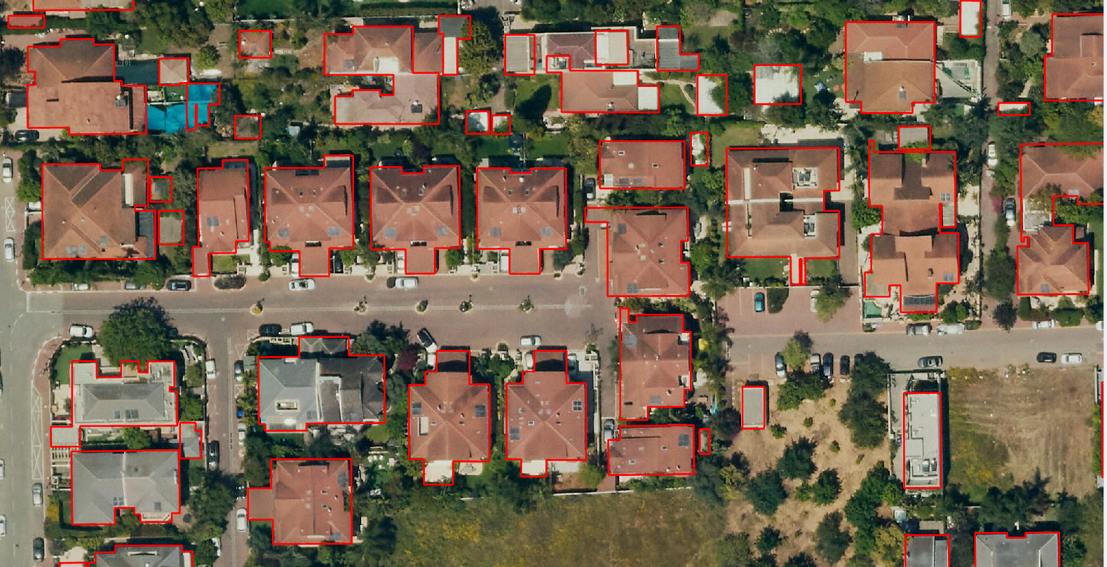
Insurance
Insurance and underwriting teams explore building footprints, roof conditions, environmental exposure, and proximity indicators — all through a browser-based AI platform.
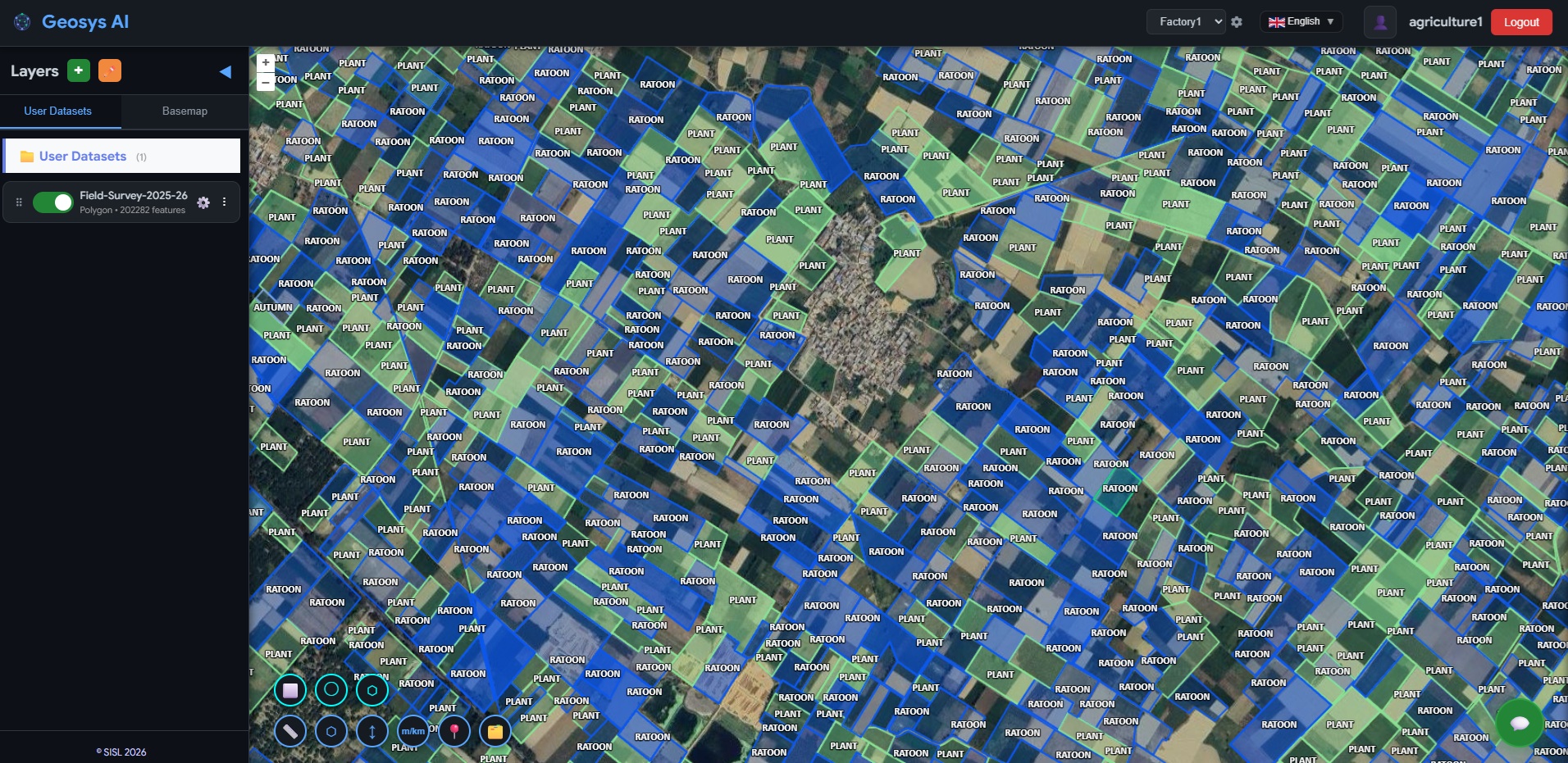
Agriculture
Sugar mills and agricultural cooperatives visualize farmer plot parcels, monitor crop management activities, and generate operational insights — all through a browser-based AI platform.
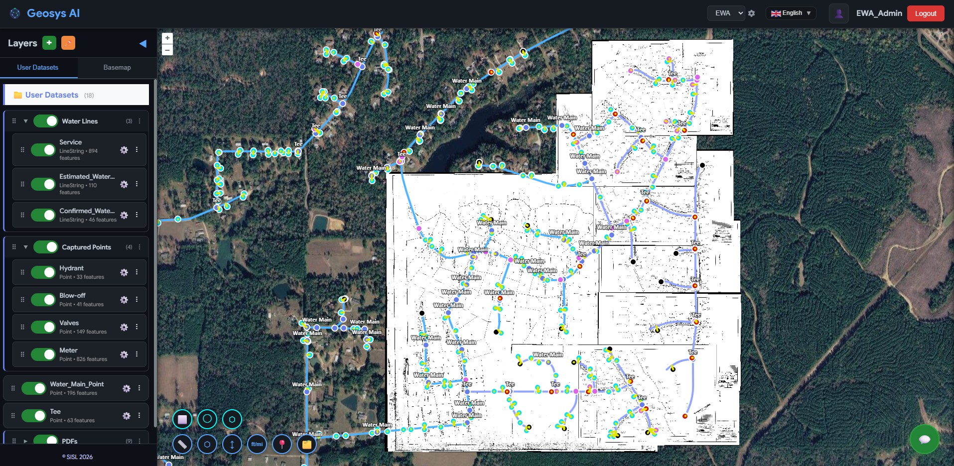
Utilities
Municipal water utilities visualize distribution networks, explore asset attributes, and manage infrastructure records — transforming scanned utility plats into a browser-based AI platform.
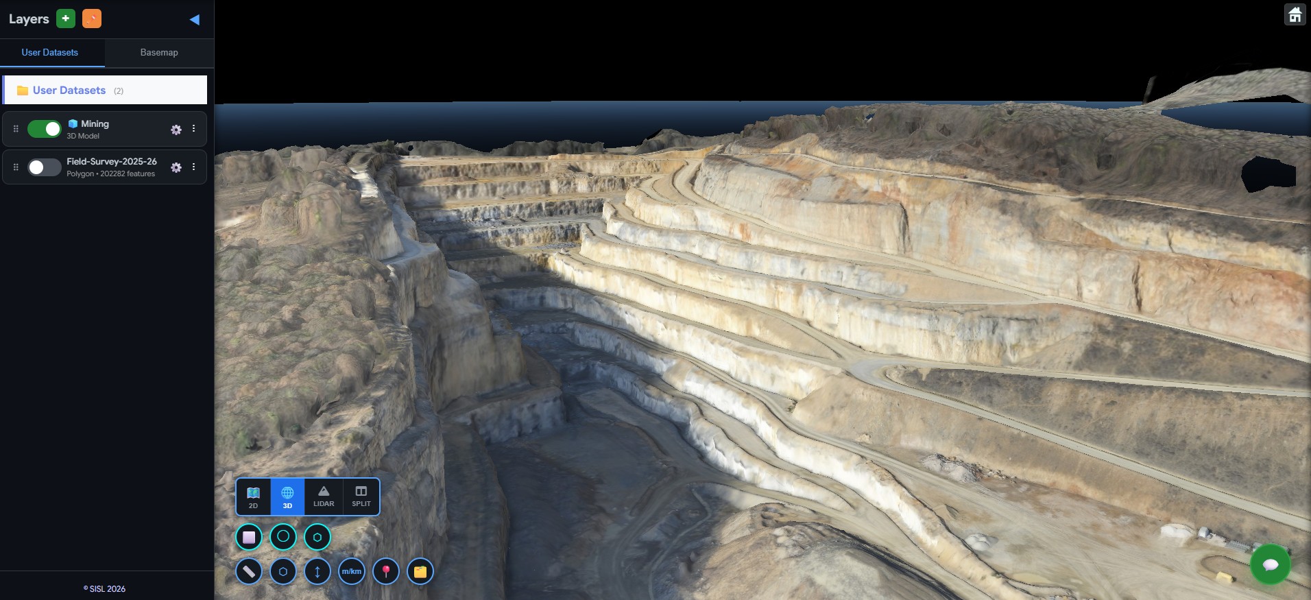
Mining
Mining operators and site engineers visualize drone survey data, explore terrain models, and monitor haul roads and stockpiles — transforming large spatial datasets into a browser-based AI platform.
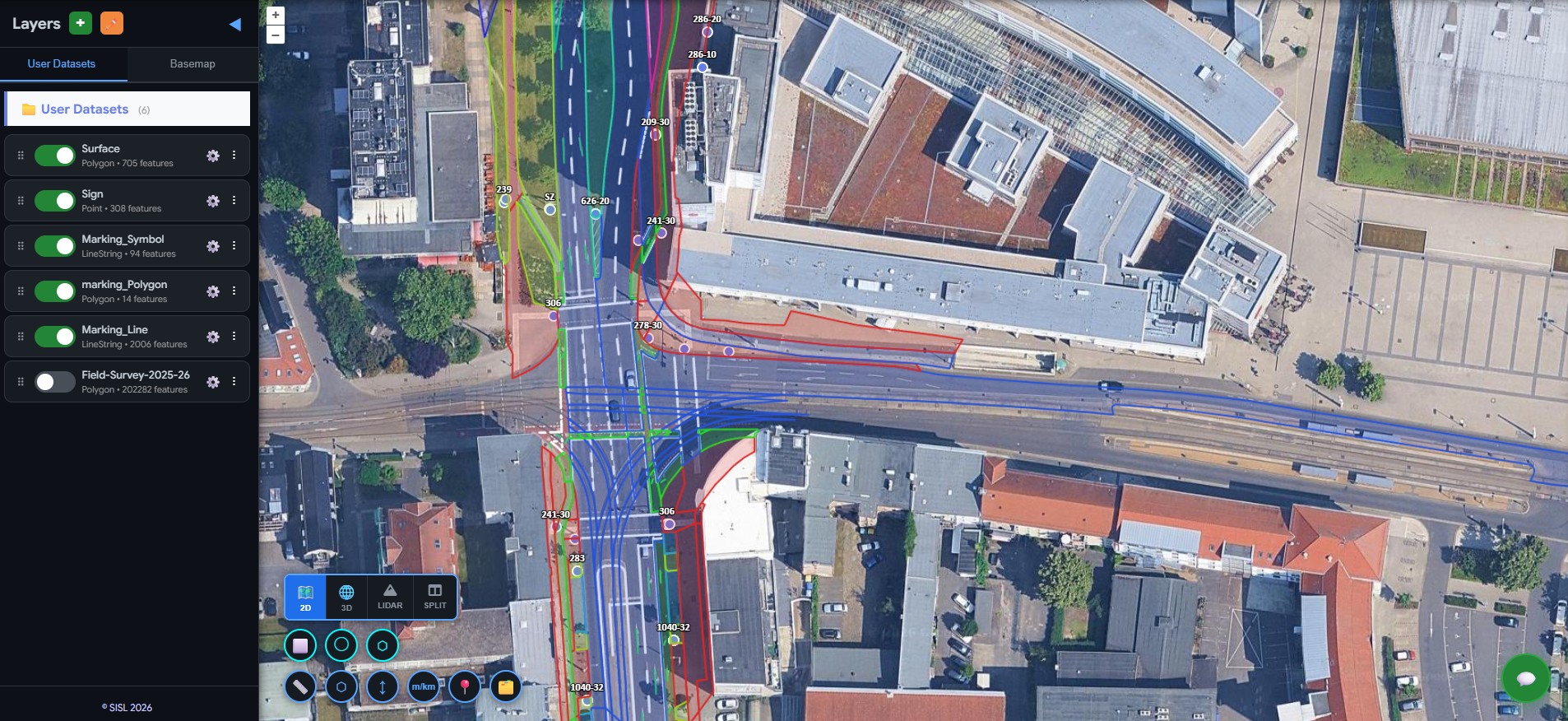
Urban Infrastructure
City and municipal authorities visualize street signs, road markings, bicycle lanes, sidewalks, parking areas, and urban green spaces — transforming static GIS layers into a browser-based AI platform.
Get a demo, pricing, and a pilot plan tailored to your data stack.