From Sealed Surfaces to
Stormwater Revenue Intelligence
A European GIS provider uses Geosys AI to give city and municipal authorities a browser-based platform for parcel-level fee calculation, revenue modeling, and transparent stormwater billing — no GIS expertise required.
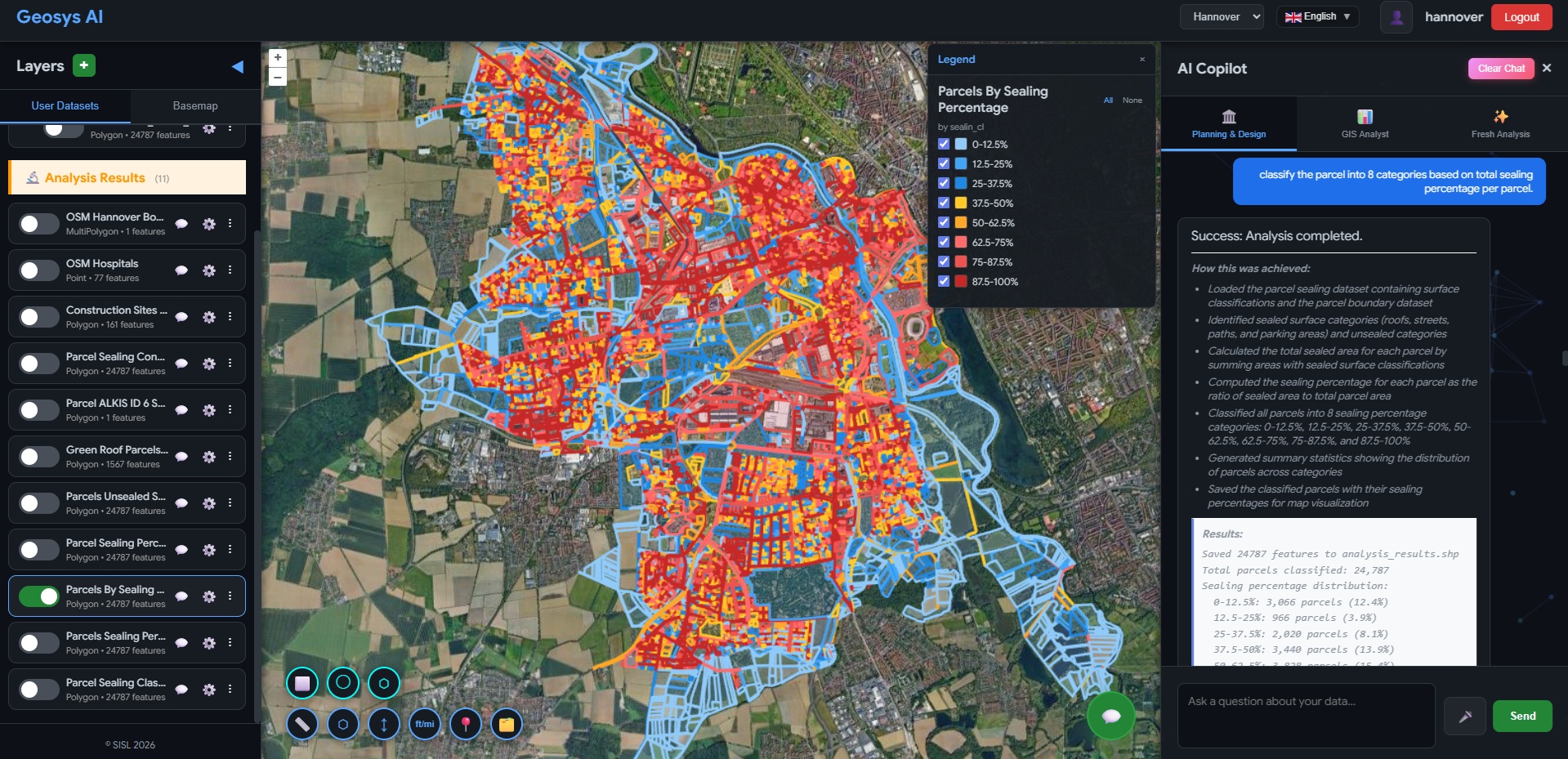
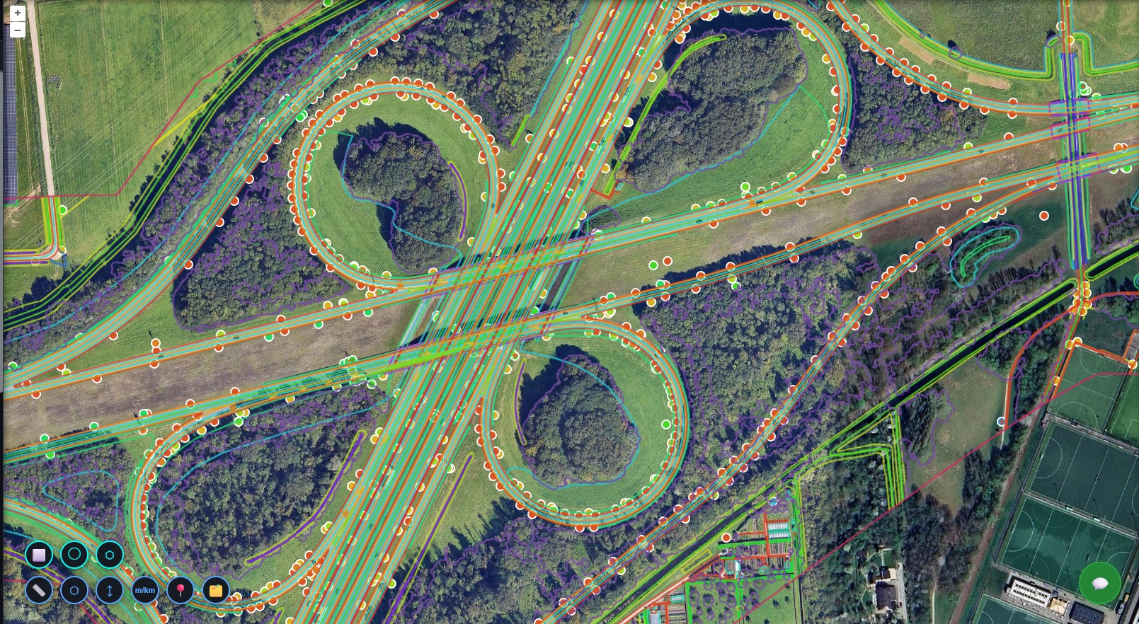
Parcel Surface Mapping
All parcels are colour-coded by impervious surface classification — sealed, partially sealed, and unsealed — directly on an interactive map. Municipal officers can pan, zoom, and filter the cadastre to identify high-fee parcels, anomalies, or neighbourhoods for targeted inspection without opening a GIS application.
Impervious Area Calculation
Impervious area automatically calculated for every property in the dataset
Geosys AI Stormwater Platform
All parcel and surface classification data is deployed into Geosys AI — a browser-based stormwater intelligence platform requiring no GIS expertise. Authorities instantly view sealed surface classifications, apply configurable fee rates, model district revenue, detect misclassified parcels, run plain-English queries, and generate audit-ready reports — all from a single secure web interface.
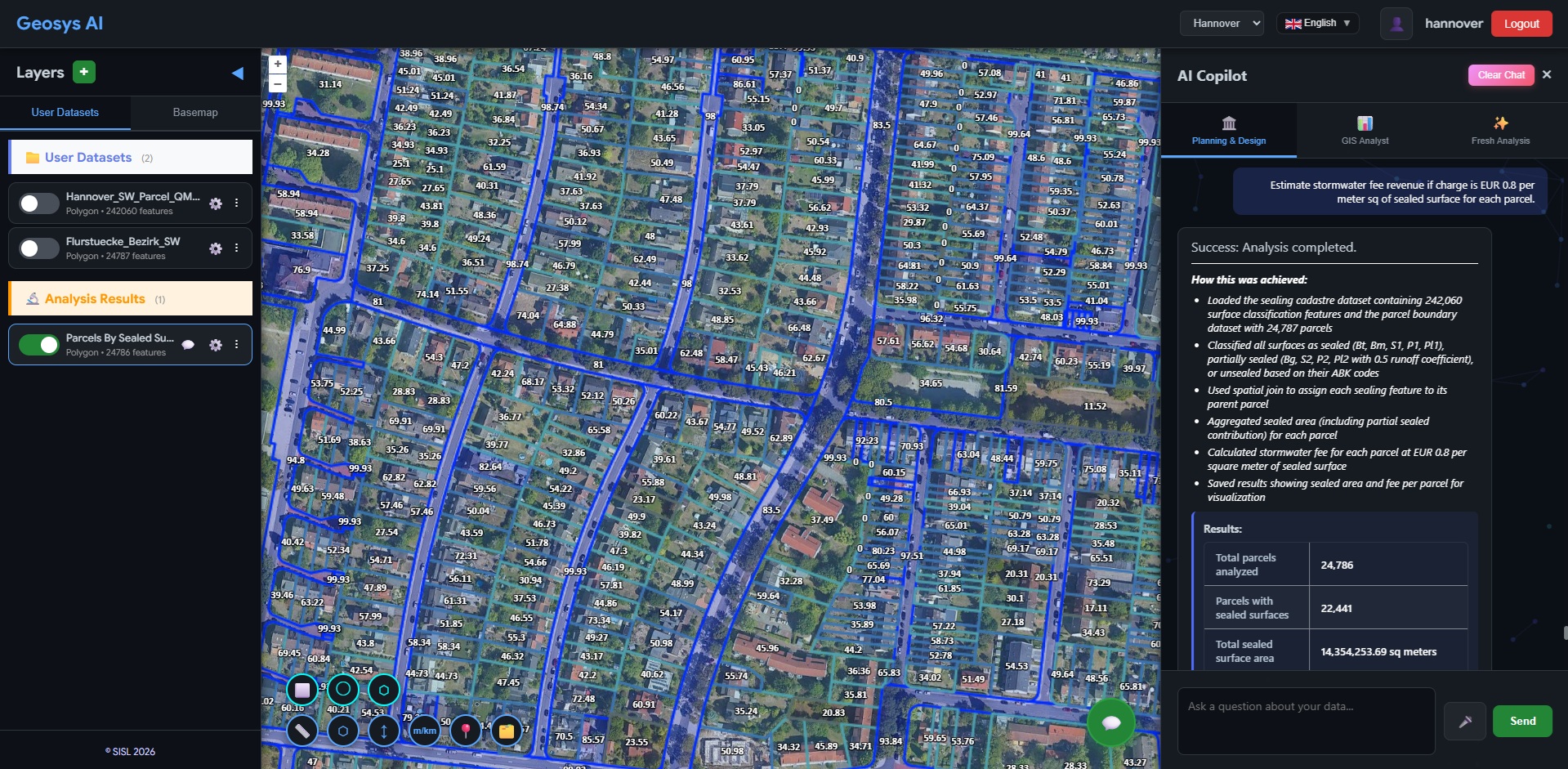
Show parcels with more than 70% sealed surface.
Calculate total impervious area in District A.
Estimate annual stormwater revenue under current rate.
Simulate revenue impact if fee increases by 10%.
List parcels with green roofs eligible for fee reduction.
Identify parcels with unusually high sealed percentage.
Natural Language Queries
Officers can type questions like "Show parcels with more than 70% sealed surface" or "Simulate revenue if the fee increases by 10%" and receive instant, mapped answers. What previously required specialist GIS workflows now takes seconds — no technical expertise needed.
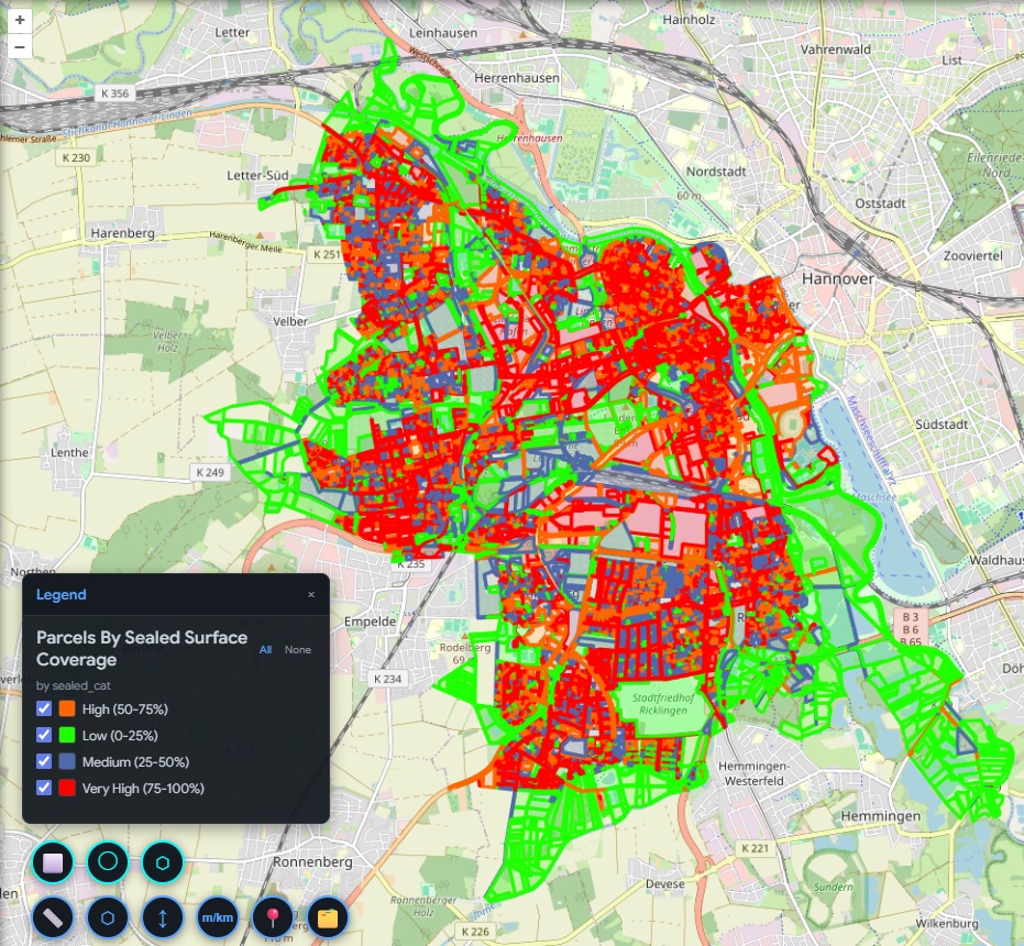
Revenue Modeling & Reporting
Model total stormwater revenue across districts or entire municipalities, simulate rate changes, and detect misclassified parcels before billing runs. Generate transparent, audit-ready parcel reports with a single click — providing defensible documentation for every fee calculation and citizen inquiry.
Stormwater fees were buried in manual GIS workflows and spreadsheets.
City and municipal authorities needed an accurate, transparent system to calculate stormwater drainage fees based on impervious surfaces at parcel level. Fee calculations required manual GIS analysis, revenue forecasting was complex, and citizen objections took significant time to review. Policy adjustments demanded technical intervention at every step.
Before
- Manual GIS analysis for fee calculations
- Spreadsheet-based revenue estimation
- Slow citizen objection review process
- Policy adjustments requiring technical intervention
After
- Interactive parcel-level stormwater dashboard
- AI-driven natural language query engine
- Real-time revenue modeling and rate simulation
- Instant export for billing and documentation
Not just an impervious cadastre —
a dynamic stormwater intelligence system.
The client now delivers a browser-based stormwater intelligence platform alongside every cadastre dataset. Authorities calculate parcel fees, model revenue scenarios, and generate audit-ready documentation — all without GIS software or specialist expertise.
- Browser-based portal — no GIS software required
- Parcel-level impervious area calculated automatically
- Configurable fee rates with instant district-wide totals
- Natural language queries answer cadastre questions in seconds
- Citizen objection evidence generated on demand
- Audit-ready, defensible parcel reports at a click
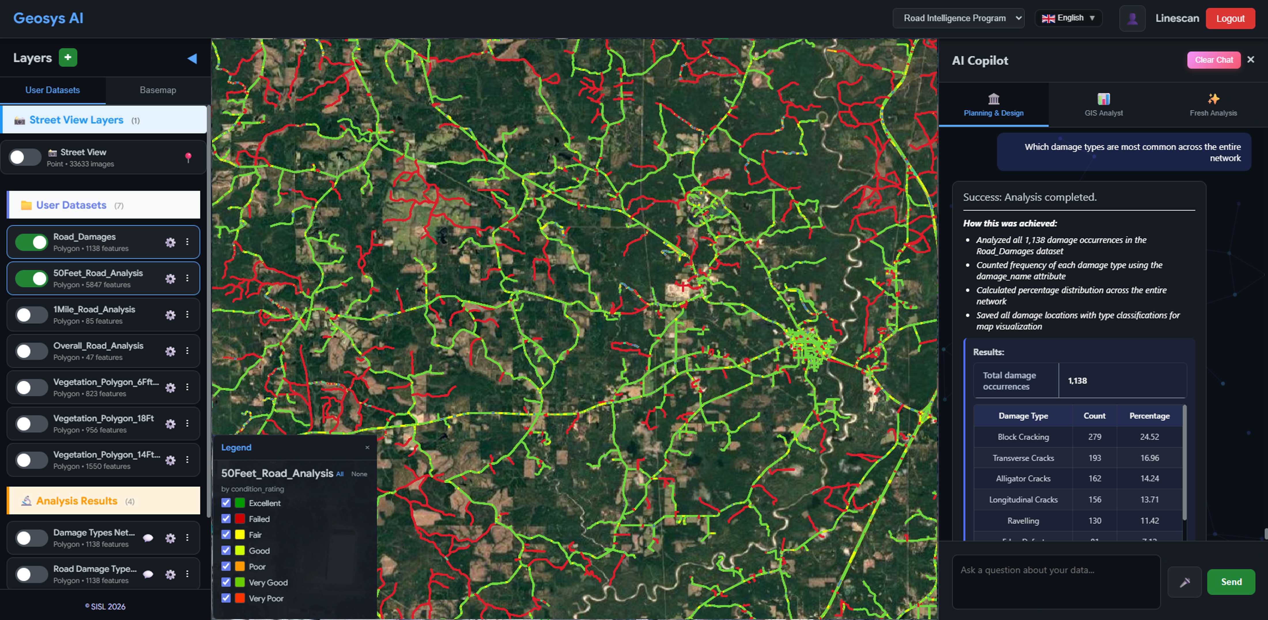
Infrastructure
Road Condition Intelligence
Hotspot detection, budget simulation, and grant-ready reporting for city and county councils.
Transportation
Highway Asset Intelligence
3D corridor asset visualization, cross-layer queries, and maintenance-ready exports.
Ready to deploy?
Get a demo, pricing, and a pilot plan tailored to your data stack.