What is Geospatial AI? A Complete Guide (2026)
How Geospatial AI combines GIS with artificial intelligence to turn satellite, LiDAR, CAD, and sensor data into decision-ready insights.
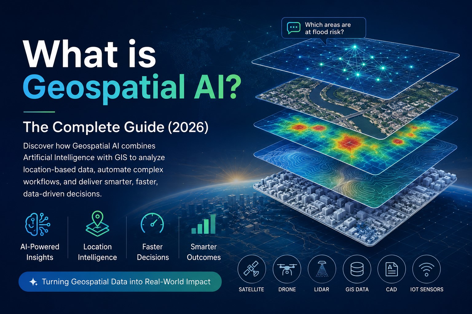
Artificial Intelligence is reshaping industries across the board, and geospatial technology is no exception. Every day, organizations collect huge volumes of location-based data from satellites, drones, LiDAR scanners, GIS databases, CAD drawings, IoT sensors, and field surveys. But collecting data is only half the challenge. The real value lies in turning that information into insights that support better decisions.
That's where Geospatial AI comes in.
By combining Artificial Intelligence with Geographic Information Systems (GIS), Geospatial AI helps organizations analyze spatial data more quickly, uncover patterns that might otherwise go unnoticed, automate time-consuming workflows, and make informed decisions with far less manual effort.
What is Geospatial AI?
Geospatial AI (GeoAI) combines Artificial Intelligence with GIS and other geospatial technologies to understand, analyze, and generate insights from location-based data.
Traditional GIS software is incredibly powerful, but it often requires users to know specialized tools, create spatial queries, and perform analysis manually. Geospatial AI changes that by allowing users to interact with their data using natural language while the AI handles much of the analytical work behind the scenes.
Instead of building complex workflows, users can simply ask questions like:
- Which roads should be prioritized for maintenance?
- Which buildings are located in flood-prone areas?
- Where would a new public facility have the greatest impact?
- Which neighborhoods have limited access to healthcare services?
The AI interprets the request, analyzes the relevant datasets, and presents the results through maps, dashboards, reports, or visualizations.
Why Traditional GIS Needs AI
GIS has been the backbone of spatial analysis for decades and remains essential for governments, utilities, engineering firms, surveyors, and infrastructure organizations. But today's projects involve far more data than traditional workflows were designed to manage.
A single project might include satellite imagery, drone surveys, LiDAR point clouds, CAD drawings, terrain models, asset inventories, and real-time sensor data. Working across these different datasets often means switching between multiple software applications and relying on highly specialized GIS expertise.
As data volumes continue to grow, organizations need answers faster than ever. Waiting hours - or even days - for routine spatial analysis can slow down planning and decision-making.
Geospatial AI helps bridge that gap by automating repetitive tasks, streamlining analysis, and making geospatial intelligence accessible to people beyond the GIS team.
What Can Geospatial AI Do?
Modern Geospatial AI platforms do much more than create maps. They help organizations understand what's happening, why it's happening, and what actions they should take next.
Common applications include:
- Prioritizing road maintenance based on condition and risk
- Identifying buildings located in flood-prone areas
- Analyzing LiDAR data for infrastructure mapping
- Managing utility networks and municipal assets
- Supporting urban planning and smart city initiatives
- Comparing historical and current datasets to detect change
- Generating reports and visual insights from multiple geospatial data sources
By automating these tasks, organizations can reduce manual effort, speed up analysis, and make more consistent, data-driven decisions.
Benefits of Geospatial AI
Organizations are adopting Geospatial AI for more than just automation. It helps teams work faster, make better decisions, and get more value from their geospatial data.
Faster Decision-Making
AI can analyze large volumes of spatial data in minutes, helping organizations respond more quickly to operational and planning challenges.
Improved Productivity
Tasks that once required hours of manual GIS work can be completed much faster, allowing technical teams to focus on higher-value projects.
Better Accessibility
Not everyone using geospatial data is a GIS specialist. Natural language interaction makes it easier for planners, managers, and decision-makers to explore spatial information without needing advanced technical skills.
Smarter Insights
By bringing together multiple datasets, AI can reveal patterns, trends, and relationships that would be difficult or time-consuming to identify manually.
Unified Data Analysis
Modern platforms can work with GIS layers, LiDAR, imagery, CAD files, terrain models, and 3D data in one environment, reducing the need to switch between different software tools.
The Future of Geospatial AI
The future of GIS isn't about replacing professionals - it's about giving them better tools.
As AI continues to evolve, geospatial platforms will become even more capable of automating workflows, delivering predictive insights, and allowing users to interact with complex spatial data through simple conversations rather than complicated software interfaces.
Whether it's managing city infrastructure, maintaining utility networks, planning new developments, or responding to environmental challenges, Geospatial AI is set to become a core part of how organizations make location-based decisions.
How Geosys AI Brings Geospatial AI to Life
Geosys AI was built to make advanced geospatial analysis faster, simpler, and more accessible.
The browser-based platform brings together LiDAR, imagery, CAD files, vector data, terrain models, and 3D models into a single AI-powered workspace. Users can visualize datasets, ask questions in natural language, perform spatial analysis, run simulations, and generate decision-ready insights - all without the complexity of traditional GIS workflows.
As organizations continue their digital transformation journey, Geospatial AI is becoming more than an emerging technology. It's quickly becoming the next generation of spatial intelligence.
If you'd like to see Geospatial AI applied to your own data, get in touch for a walkthrough.