How Anyone Can Analyze Geospatial Data Using AI - No GIS Expertise Required
You don't need to know QGIS, ArcGIS, or Python to get insight from maps and location data anymore. Here's how AI is opening geospatial analysis to everyone.
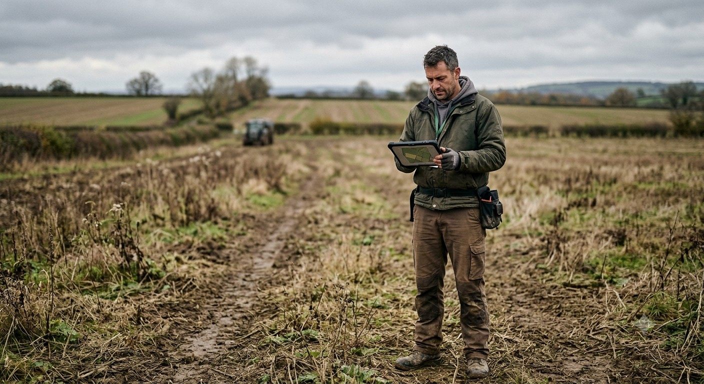
There's an old joke among GIS professionals: "the GIS lab was stuck in the basement." It's funny because it's true. For decades, spatial analysis lived in a specialized corner of most organizations - a small team who understood shapefiles, coordinate systems, and the mysterious art of getting QGIS or ArcGIS to actually do what you wanted. Everyone else submitted a request and waited.
That arrangement made sense when spatial analysis required real technical training. It doesn't make as much sense anymore. Over the past two years, AI - specifically large language models combined with computer vision and geospatial foundation models - has started closing the gap between "having location data" and "getting an answer from it." You don't need to know what a shapefile is to ask, "which of our sites are at the highest flood risk this season," and increasingly, you don't need a GIS analyst standing between you and the answer either.
This isn't a small UX improvement. It's a genuine shift in who gets to work with spatial data, and it's worth understanding both what's real about it and where the hype outruns the technology.
Why Geospatial Analysis Was So Hard to Begin With
Spatial data is genuinely more complicated than most business data, and it's worth being specific about why:
- Multiple data formats. Shapefiles, GeoJSON, raster imagery, LiDAR point clouds, KML - a single analysis often needs to pull from several formats that don't play nicely together.
- Coordinate systems. The same location can be represented in dozens of different coordinate reference systems, and mixing them without converting properly produces silently wrong answers, not obvious errors.
- Specialized query logic. Answering "what's within 2 kilometers of this facility" requires spatial functions - buffers, intersections, distance calculations - that don't exist in standard business intelligence tools.
- Unstructured source material. A huge amount of real-world spatial information still lives in scanned maps, PDFs, and spreadsheets rather than clean databases. Historically, GIS analysts spent a large share of their time - some industry estimates put it as high as 70% - just manually extracting coordinates and attributes from these unstructured sources before any actual analysis could begin.
- Software with a steep learning curve. Professional GIS tools are powerful precisely because they're built for specialists. That power comes with genuine complexity that takes years to master fully.
Put together, those barriers meant spatial questions got asked less often than they should have - not because they weren't important, but because getting an answer was expensive and slow.
What's Actually Changed
Three developments, arriving roughly together, are what's making non-expert geospatial analysis genuinely possible now, rather than just a nice idea:
1. Natural language interfaces for spatial queries. Large language models can now translate plain-English questions into the spatial queries, joins, and filters that used to require SQL or a GIS expression builder. Ask "show me parcels within the floodplain that are also zoned residential," and the system handles the underlying spatial join - buffers, intersections, coordinate conversions and all - without you ever seeing the query itself.
2. Automated extraction from unstructured sources. AI models - particularly vision-language models - can now read scanned maps, municipal PDFs, and messy spreadsheets, and pull out coordinates, boundaries, and attributes automatically. Work that used to consume most of an analyst's week now happens in the background.
3. Foundation models for imagery and change detection. Deep learning models trained on huge volumes of satellite and aerial imagery can now classify land cover, detect changes over time, flag anomalies, and identify objects (buildings, vegetation encroaching on power lines, flood extent) with a level of accuracy that used to require custom-trained models for every single use case.
Put together, these mean a non-specialist can increasingly go from a raw question to a mapped answer without touching a GIS desktop application at all.
What This Looks Like in Practice
A few concrete examples of what "no GIS expertise required" actually enables:
- A farm operations manager asks which fields are showing below-average vegetation health this month and gets a ranked map back - no need to know how NDVI is calculated or how to load a raster layer.
- A utility risk officer asks which substations sit within a newly updated wildfire-risk zone and gets an instant list with a map, instead of waiting on a request to the GIS team.
- A logistics coordinator asks how many customers fall within 10 miles of each warehouse and gets the breakdown without writing a spatial join.
- A sustainability lead asks which properties in the portfolio face the highest flood exposure over the next planning cycle and gets a prioritized shortlist, not a raw dataset to interpret alone.
- A city planning aide uploads a scanned zoning map from a decade-old PDF and has the boundaries and labels extracted automatically instead of manually redrawing them.
None of these people need to know what a spatial join is. They just need to ask the question.
The Honest Caveats - Because This Field Still Needs Them
It's worth being straightforward here, because vendor marketing in this space has a tendency to overpromise. A few things worth knowing before you assume AI can fully replace spatial expertise:
- Full autonomy isn't here yet. Describing a complex planning problem in natural language and getting back a validated, decision-ready analysis report - with no expert review - is not where the technology reliably stands today. AI accelerates spatial analysis; for consequential decisions, it doesn't yet replace expert judgment.
- Accuracy varies by domain and geography. Foundation models trained mostly on certain regions or imagery types don't automatically generalize perfectly everywhere. A model that performs well in one country's terrain and building styles may need adjustment elsewhere.
- Spatial queries are still harder for AI than ordinary ones. Coordinate systems, geometry types, and topological relationships (intersects, within, buffers) are a genuinely harder target for language models than standard business queries, which is why purpose-built, schema-aware systems consistently outperform generic AI chatbots pointed at spatial data.
- Validation still matters. For anything feeding into safety, compliance, or high-value financial decisions, someone should still be able to see and sanity-check the underlying analysis, not just trust a confident-sounding answer.
None of this is a reason to be skeptical of the trend - it's a reason to pick tools that are honest about these limits and build validation into the workflow rather than hiding it.
Why This Matters Beyond Convenience
The bigger implication isn't just "faster answers." It's about who gets to ask spatial questions in the first place. When spatial analysis required specialized software and training, only organizations that could afford a dedicated GIS team got to make location-informed decisions quickly. Everyone else either skipped the analysis or waited long enough that the moment to act had often passed.
AI-driven, non-expert-friendly geospatial tools change that math. A smaller organization - a regional agribusiness, a mid-sized utility, a local government office - can now ask the same kinds of spatial questions that used to require an enterprise GIS department, and get an answer fast enough to actually act on it. Industry commentators have described this as a step toward closing longstanding gaps between organizations that have historically had access to spatial expertise and those that haven't. That's a meaningfully bigger story than "nicer UI."
What to Look for in an AI-Powered Geospatial Platform
If you're evaluating tools to bring spatial analysis to non-GIS users on your team, a few things separate genuinely useful platforms from flashy demos:
- A real natural language interface, grounded in your actual data schema - not a chatbot bolted onto a static dashboard.
- Support for the messy stuff: LiDAR, point clouds, 3D terrain, oblique imagery, and unstructured document extraction, not just clean vector layers.
- Visual, map-based output by default, since a spatial answer belongs on a map, not buried in a table.
- Multi-tenant, white-label flexibility if you're serving multiple teams, clients, or business units from the same underlying data.
- A visible, checkable process, so a domain expert can review what the AI actually did before a high-stakes decision gets made on top of it.
- Real-time data support, so answers reflect current conditions - sensor feeds, recent imagery, updated boundaries - not a dataset that's months stale.
Where GeosysAI Fits Into This
This is precisely the problem GeosysAI was built to solve. As a white-label, AI-powered geospatial platform, GeosysAI brings together mapping, LiDAR and point-cloud support, 3D terrain, and real-time data layers in one place - and puts a natural language layer on top of it, so people without any GIS background can ask questions about their own data and get accurate, mapped answers back.
Instead of treating AI as a thin chatbot wrapper, GeosysAI's approach is schema-aware and grounded in each customer's actual data structure - handling multi-table spatial relationships, retrying automatically when a generated query fails, and supporting regional and mixed-language phrasing rather than assuming everyone types in clean, standardized English. That kind of domain-specific engineering is exactly what separates a genuinely reliable spatial AI system from a generic demo, and it's why organizations working with real operational complexity - agriculture, infrastructure, utilities - need more than an off-the-shelf mapping tool with an AI label slapped on top.
The result is a platform where a field manager, a sustainability officer, or a city planning aide can get the same kind of spatial insight that used to require a dedicated GIS analyst - without ever opening a desktop GIS application or writing a line of SQL.
The Bottom Line
Geospatial analysis is no longer the exclusive domain of people who spent years learning specialized software. AI - through natural language interfaces, automated data extraction, and increasingly capable imagery models - has genuinely lowered the barrier to asking and answering spatial questions. It's not full autonomy, and it shouldn't replace expert review for consequential decisions, but for the vast majority of everyday spatial questions that used to sit in a request queue, the answer is now available to almost anyone who knows how to ask.
That's the real shift worth paying attention to: not that GIS got easier to learn, but that, increasingly, you don't need to learn it at all.
Want to see what asking your own spatial data a question actually looks like? Explore how GeosysAI brings natural language querying, mapping, and AI-powered analytics together on one platform.